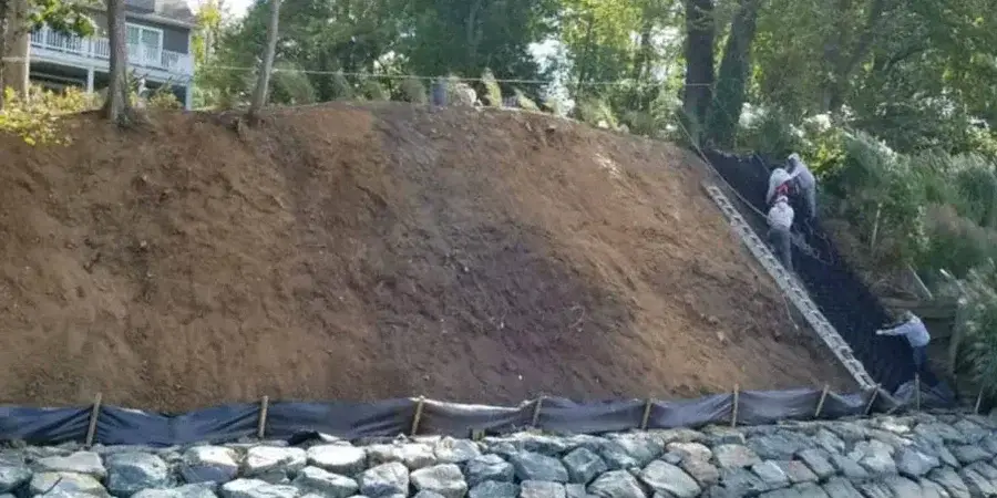
The contrast between the alluvial fans near the Santa Ana Mountains and the older terrace deposits in central Orange California is something we see every day. A home on the west side might sit on dense sandy gravel, while just a few miles east near Santiago Creek the ground turns into soft clay and silt. That lateral change is exactly where differential settlement analysis becomes critical. Before pouring a single footing we run a [geophysical survey](georradar-gpr) to map those transitions, and then correlate the data with a [soil classification](clasificacion-suelos) to predict how much each column will move. In Orange California the seasonal groundwater fluctuation can shift those numbers by half an inch or more if not accounted for.
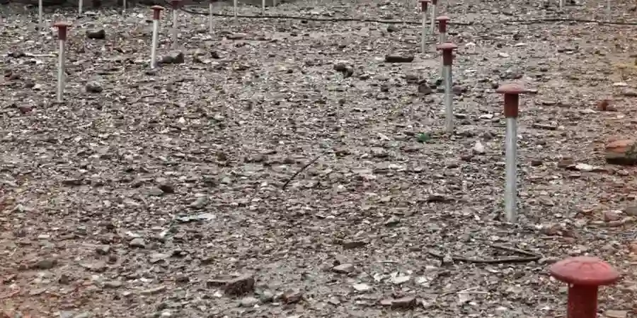
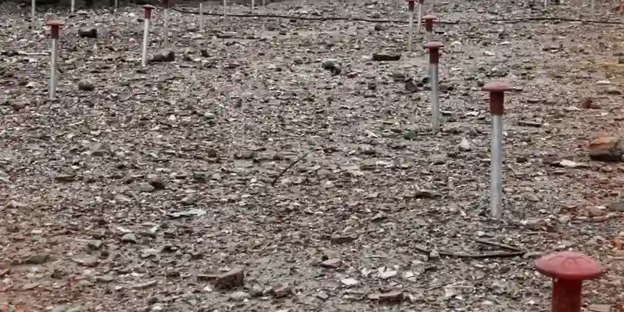
A settlement contour map from our lab highlights zones where vertical movement will exceed the structural tolerance of a standard slab-on-grade.